Exciting Changes to Our Mapping Services
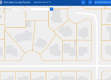
The GIS/Cadastral Department (also known as the plat department) has successfully finished upgrading our mapping software to a new system called Parcel Fabric. Our tax map data is now available through a new interactive map platform.
Updates to the static plat page maps have been discontinued, however the historical version remain accessible for viewing in our Data Services program.
This necessary and important upgrade means better data, more interactive maps, and faster updates—making it easier for you to find the property info you need. If you have any questions or concerns, please don't hesitate to reach out to us.